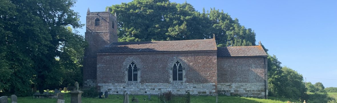
1792 seems to have been a year of significant change for the Welton le Marsh. A lot of land changed hands - in particular to the Reverend Edward Walls. The tithes were commuted for land and corn rents (which is probably why the map was drawn up) and the church was rebuilt with funds raised… Continue reading 1792 map of Welton le Marsh
Author: Alex Peters
Village fairs
Welton in 1845 In 1845, the Topographical Dictionary of England records that Welton le Marsh had a population of 396, almost double the current figure of 212 in 2022 (See https://en.wikipedia.org/wiki/Welton_le_Marsh ) Pleasure fair The article notes that there was a pleasure fair every year on Old Lady Day, which would have been a celebration… Continue reading Village fairs
Welton le Marsh in Domesday
Welton le Marsh features in three entries in the Domesday book, which recorded land ownership across England in 1086 by the orders of King William I, the Conqueror. The mediaeval Latin language used can be difficult to understand so please see the guide below. Note that the land was split between three landowners. Land of… Continue reading Welton le Marsh in Domesday